Mars Wrigley releases field app to verify suspected deforestation
The brand is taking proactive steps to develop field criteria that verify whether suspected deforestation identified with remote sensing is actual deforestation.
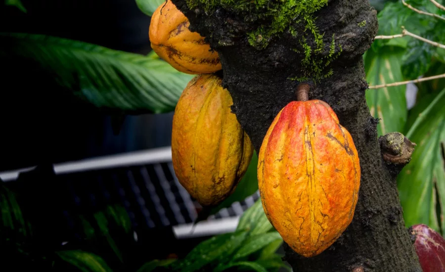
Cacaofruits on tree. Courtesy of Pexels / KLT Dinusha
The World Cocoa Foundation's website recently featured an article by Florence Landsberg, cocoa forest and land manager, Mars Wrigley, about its innovative new field app.
"Climate change is a real, tangible threat and it is already impacting the planet and people’s livelihoods. At Mars, we believe in business as a power for good and we’re committed to doing our part. As a family-owned business that has been active for over a century, we think in generations and believe strongly in leaving a legacy and wanting to protect our planet," says Landsberg.
Achieving a deforestation and conversion-free cocoa supply chain is the single largest and most significant first step Mars can take towards delivering on its commitment to hold its land use flat, reduce greenhouse gas emissions, and achieve net zero greenhouse gas emissions across its full value chain by 2050, she continues.
"Remote sensing is a useful method that helps keep an eye on deforestation and damage to forests all around the world. Satellite data allows to regularly make maps and keep track of big areas of land, which is helpful, especially in places that are hard to reach or access easily. Although, in our pursuit of a deforestation and conversion-free cocoa supply chain, we realized current remote sensing methods have had trouble accurately spotting deforestation. Specifically, when it comes to tree crops like cocoa. For instance, when farmers planted new cocoa trees, the technology mistakenly thought they were cutting down forests," she explains.
"Furthermore, partner organizations regularly conduct field visits to verify deforestation claims, validating or refuting the remote sensing results. However, without proper documentation, it can prove difficult to substantiate their findings. Lack of time or not fully understanding the restrictions of remote sensing could lead to farmer organizations unintentionally exclude farmers from their supply chain even if these farmers haven’t been involved in cutting down forests," Lansberg says.
Mars is working to build rigorous risk management and well-documented due diligence processes. In collaboration with its suppliers, it has taken proactive steps to develop field criteria that verify whether suspected deforestation identified with remote sensing is actual deforestation.
These criteria, shaped through on-site visits with Blommer, ECOM, ofi, Sucden, and Touton, have culminated in a field verification app.
The app serves two main purposes:
- Establishing Cocoa Tree Origins: It supports collecting substantiated evidence that the existing cocoa trees were established prior to the stipulated cutoff date.
- Validating Land Use History: In cases without evidence of cocoa tree establishment, the app supports substantiating past productive land use before the current cocoa trees or confirms the absence of forest tree felling indicative of a prior forest presence at the cutoff date.
Through a step-by-step approach, the app "not only supports robust due diligence, but also decreases the number of farmers being excluded from farmer organizations without justification and substantiation," Lansberg notes.
Read the full article here.
Looking for a reprint of this article?
From high-res PDFs to custom plaques, order your copy today!


