WCF publishes assessment revealing accuracy of key maps
Cocoa companies rely on this information for environmental compliance.
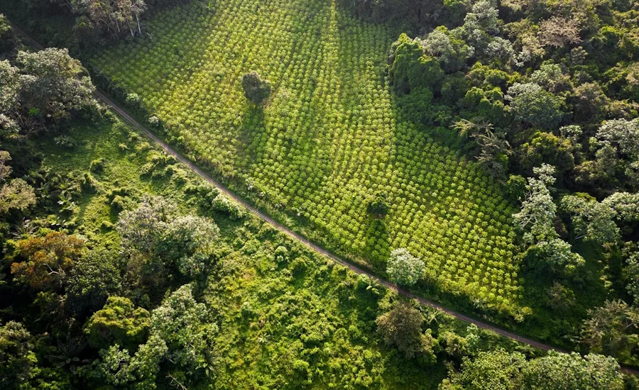
Courtesy of WCF
To strengthen and standardize environmental monitoring across the global cocoa sector, the World Cocoa Foundation (WCF), in collaboration with the Alliance of Bioversity International and CIAT, has for the first time assessed the quality of the maps most commonly used to assess deforestation, tree planting (reforestation/agroforestry) and greenhouse gas (GHG) emissions and removal monitoring. The study supports cocoa companies who rely on these sources to meet regulatory compliance and improve their sustainability impact.
Credible and compliant environmental reporting is essential for companies to meet EU regulations and net-zero commitments, WCF says. This has led to increased demand for best practice remote sensing methods, whose high accuracy analyses depend on high quality map data.
Without an independent assessment of the quality of these data sources, companies could be using inaccurate data—risking fines due to false claims, failure with compliance and potential exclusion from the EU market for producing countries and farmers.
This first-of-its-kind assessment addresses this challenge, drawing on criteria that WCF and CIAT—one of 15 CGIAR research centers— developed with key stakeholder groups including governments and WCF members. Focusing on Ghana and Côte d'Ivoire, it assesses how well the maps capture real-world land cover, for instance, whether cocoa plantations are accurately distinguished from natural forests; whether they provide adequate geographical coverage within cocoa growing regions; and how well the methods for developing the maps and underlying data are documented and made publicly accessible. It also assesses the inclusion of smallholder farmers, who are often left out of compliance system development but are essential for developing accurate and equitable monitoring systems.
"Inaccurate data leads to inaccurate reporting, posing significant risk to companies, governments and farmers," says Michael Matarasso, WCF impact director and head of North America. “This work ensures that all key players in the cocoa sector—whether public or private—can make informed decisions based on the accuracy and verifiability of the data they are using, with the end goal of delivering a deforestation and greenhouse gas-free supply chain."
The assessment revealed that open access global maps, while essential, are not accurate enough for the cocoa analyses needed in these countries. "This assessment highlights the importance of combining several of the most accurate maps when using open access global maps. If commercial maps are preferred, users should first insist that independent, third-party assessments on accuracy are conducted.", says Louis Reymondin, senior scientist at the Alliance of Bioversity and CIAT.
The study also found that maps produced by the Ghana and Côte d'Ivoire governments are often more accurate than open access global maps. Matarasso adds: "This underscores the need for collaboration and investment in national maps and the development of standardized, science-based national forest monitoring systems across all cocoa-producing countries".
Dr. Serge Kotchi, director of the Agriculture, Geographic Information, and Digital Technology Division at the Bureau National d’Études Techniques et de Developpment (BNETD) in Côte d’Ivoire, says: "By improving common knowledge around data quality, the global cocoa sector can work towards high accuracy. Establishing these data standards will ensure that our national monitoring systems are aligned with global best practices and we are all speaking the same language."
As the industry's voice for cocoa sustainability, WCF has long advocated for the development and use of best practices, tools, and data to support and monitor industry-wide sustainability efforts—in alignment with global sustainability standards. The criteria and quality assessment complement its portfolio of methods, tools and guidance, including the deforestation risk assessment methodology and GHG accounting methodology. These tools will also support producing-country governments as they develop national traceability and monitoring systems.
The criteria, quality assessment and supporting information can be found here.
Looking for a reprint of this article?
From high-res PDFs to custom plaques, order your copy today!


